City Hall MRT Station(市政府)
NS25, EW13
Interchange
Metro Lines


City Hall MRT Station Overview
City Hall is an underground station on the North-South Line (NSL) of Singapore's MRT network. It is an interchange station connecting the North-South Line (NSL) and East-West Line (EWL). The station is close to major landmarks such as Raffles City, St. Andrew's Cathedral, and the Padang, and is also connected to nearby bus services and underground walkways. This station is the 24th station from Jurong East and the 4th from Marina South Pier on the North-South Line.
Lines at City Hall MRT Station
City Hall MRT Station Info
- Opened 1987
- Coordinates 1.29317, 103.85166
-
Lines
Interchange 3
Singapore MRT Map 2026
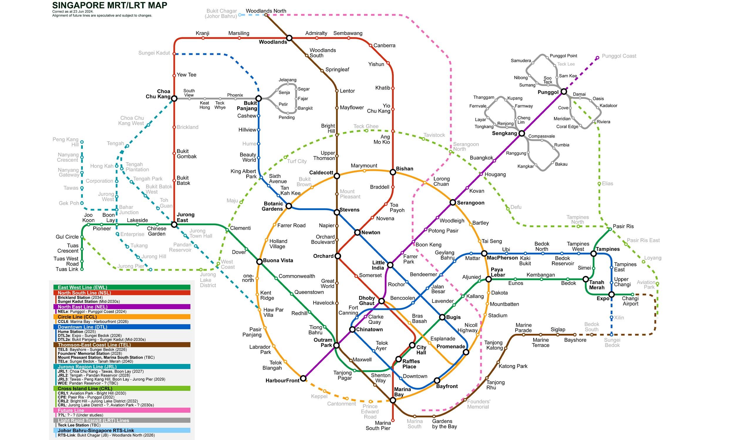
Click to expand
Gates (4)
-
Gate A City Hall / Stamford Road
-
Gate B Raffles City / North Bridge Road
-
Gate C Suntec City / Esplanade
-
Gate D Peninsula Plaza / Coleman Street
Other Stations in Singapore MRT
86Frequently Asked Questions — City Hall Station
City Hall station is served by 3 lines: North–South Line, East–West Line, East–West Line.
Yes, City Hall is an interchange station where passengers can transfer between 3 lines.
City Hall station is part of the Singapore MRT MRT network in Singapore.
City Hall station has 4 gates.
City Hall station opened in 1987.
City Hall station is located at coordinates 1.29317, 103.85166 in Singapore.
You can reach City Hall station via the Singapore MRT MRT. Use the route finder on this page to plan your journey from any station.