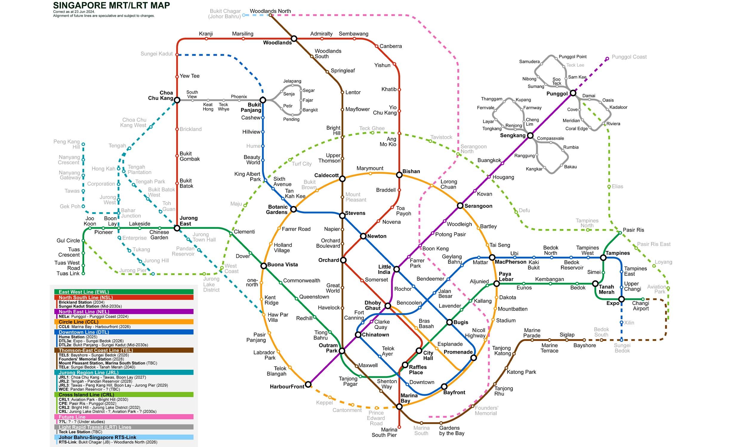
13 stations2 interchanges17 km~35 min
Board
North–South Line
towards Marina South Pier
Change to
East–West Line
towards Pasir Ris
Change to
North–South Line
towards Marina South Pier
- 1
-
2
Board the North–South Line towards Marina South Pier
Ride 1 stop to Raffles Place.Change lines here -
3
Board the East–West Line towards Pasir Ris
Ride 10 stops to Jurong East.Change lines here -
4
Board the North–South Line towards Marina South Pier
Ride 1 stop to Bukit Batok.
Origin
City Hall Singapore
Gates / Exits
Gate A
City Hall / Stamford Road
Gate B
Raffles City / North Bridge Road
Gate C
Suntec City / Esplanade
Gate D
Peninsula Plaza / Coleman Street
Destination
Bukit Batok Singapore
Gates / Exits
Gate A
Bukit Batok Central / Bus Interchange
Gate B
Bukit View / Community Club
Gate C
St Luke’s Hospital / Bukit Batok West
Gate D
Swimming Complex / Stadium
More routes from City Hall
Raffles Place
Jurong East
More routes from Bukit Batok
Raffles Place
Jurong East