Katong Park MRT Station(加东公园)
TE24
Metro Lines


Katong Park MRT Station Overview
Katong Park is an underground station on the Thomson-East Coast Line (TEL) of Singapore's MRT network. It was opened on 23 June 2024 as part of Phase 4. It is located near the junction of Fort Road, Tanjong Rhu Road, and Meyer Road and serves the surrounding residential areas and Katong Park. The station is the 25th station on the Thomson-East Coast Line from Woodlands North and the 6th from Bayshore.
Lines at Katong Park MRT Station
Katong Park MRT Station Info
- Opened 2024
- Coordinates 1.29752, 103.88635
-
Lines
1
Singapore MRT Map 2026
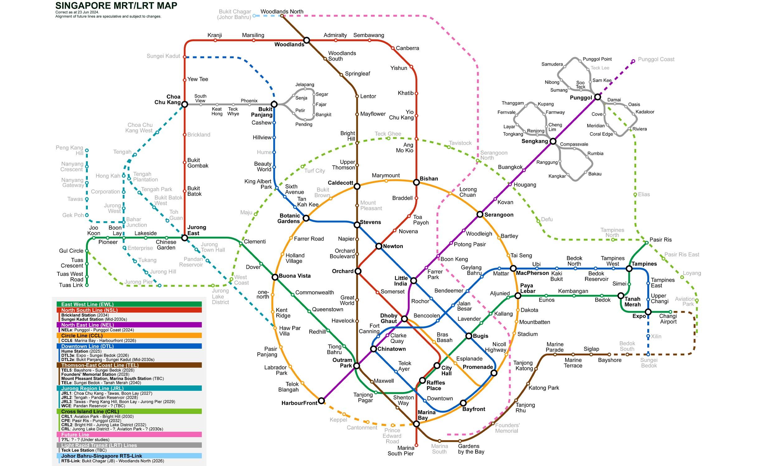
Click to expand
Gates (2)
-
Gate A Fort Road / Katong Park
-
Gate B Dunman High School / Tanjong Rhu Road
Other Stations in Singapore MRT
87Frequently Asked Questions — Katong Park Station
Katong Park station is served by 1 line: Thomson–East Coast Line.
Katong Park station is part of the Singapore MRT MRT network in Singapore.
Katong Park station has 2 gates.
Katong Park station opened in 2024.
Katong Park station is located at coordinates 1.29752, 103.88635 in Singapore.
You can reach Katong Park station via the Singapore MRT MRT. Use the route finder on this page to plan your journey from any station.