Ang Mo Kio MRT Station(宏茂桥)
NS16, CR11
Metro Lines


Ang Mo Kio MRT Station Overview
Ang Mo Kio is an underground station on the North-South Line (NSL) of Singapore's MRT network. The station is connected to the AMK Hub, Ang Mo Kio Bus Interchange, and Ang Mo Kio Town Centre via an underground walkway. In 2030, it will become an interchange station for the Cross Island Line. The station is the 15th station from Jurong East and the 13th from Marina South Pier on the North-South Line.
Lines at Ang Mo Kio MRT Station
Ang Mo Kio MRT Station Info
- Opened 1987
- Coordinates 1.36937, 103.84947
-
Lines
1
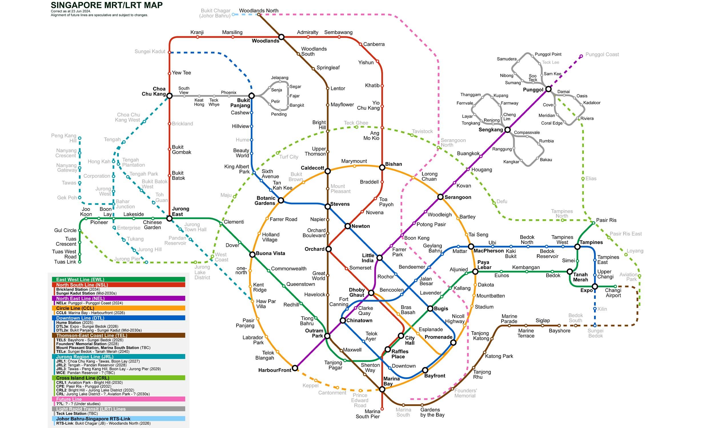
Singapore MRT Map 2026
Click to expand
Gates (4)
-
Gate A Deyi Secondary School / Teck Ghee
-
Gate B Broadway Plaza / Jubilee Square
-
Gate C AMK Hub / Bus Interchange
-
Gate D Town Garden East / Cheng San CC
Other Stations in Singapore MRT
88Frequently Asked Questions — Ang Mo Kio Station
Ang Mo Kio station is served by 1 line: North–South Line.
Ang Mo Kio station is part of the Singapore MRT MRT network in Singapore.
Ang Mo Kio station has 4 gates.
Ang Mo Kio station opened in 1987.
Ang Mo Kio station is located at coordinates 1.36937, 103.84947 in Singapore.
You can reach Ang Mo Kio station via the Singapore MRT MRT. Use the route finder on this page to plan your journey from any station.