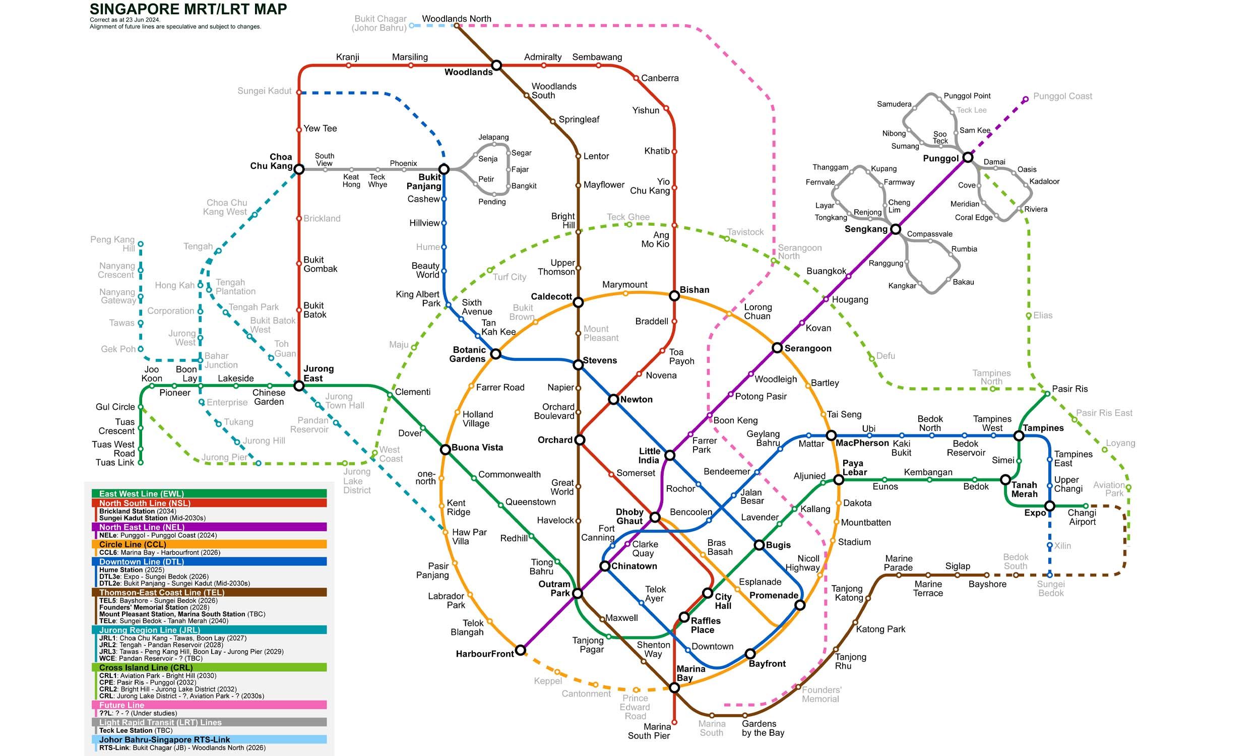
12 stations3 interchanges13 km~27 min
Board
Thomson–East Coast Line
towards Bayshore
Change to
North–South Line
towards Marina South Pier
- 1
-
2
Board the Thomson–East Coast Line towards Bayshore
Ride 7 stops to Marina Bay.Change lines here -
3
Board the North–South Line towards Marina South Pier
Ride 2 stops to City Hall.Change lines here -
4
Board the East–West Line towards Pasir Ris
Ride 1 stop to Bugis.Change lines here -
5
Board the Downtown Line towards Expo
Ride 1 stop to Rochor.
Origin
Siglap Singapore
Gates / Exits
Gate A
Victoria School / Siglap Link
Gate B
Masjid Kampung Siglap / Wisma Mendaki
Gate C
Nallur Road
Gate D
Marine Parade Road
Destination
Rochor Singapore
Gates / Exits
Gate A
Sim Lim Square / Rochor Canal Road
Gate B
Jalan Besar / Rochor Road
Gate C
Queen Street / Albert Street
Gate D
The Verge / Jalan Besar
More routes from Siglap
Marina Bay
City Hall
Bugis
More routes from Rochor
Marina Bay
City Hall
Bugis