15 stations3 interchanges16 km~33 min
Board
Circle Line
towards HarbourFront
Change to
Downtown Line
towards Expo
Change to
Circle Line
towards HarbourFront
Change to
Thomson–East Coast Line
towards Bayshore
- 1
-
2
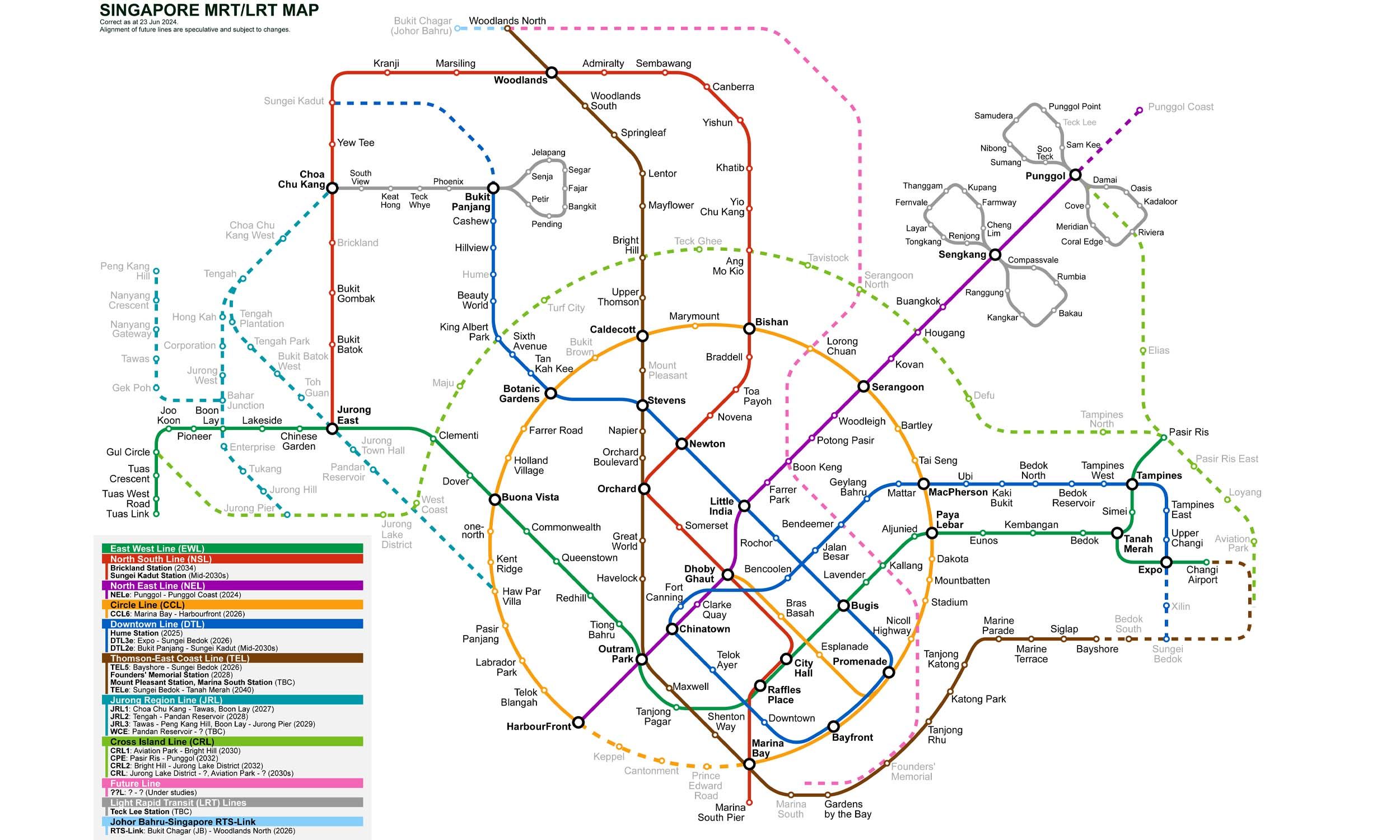
Board the Circle Line towards HarbourFront
Ride 1 stop to Botanic Gardens.Change lines here -
3
Board the Downtown Line towards Expo
Ride 7 stops to Bayfront.Change lines here -
4
Board the Circle Line towards HarbourFront
Ride 1 stop to Marina Bay.Change lines here -
5
Board the Thomson–East Coast Line towards Bayshore
Ride 5 stops to Marine Parade.
Origin
Farrer Road Singapore
Gates / Exits
Gate A
Farrer Road / Empress Road
Gate B
Farrer Road / Queen’s Road
Gate C
Coronation Road / Holland Road
Destination
Marine Parade Singapore
Gates / Exits
Gate A
Marine Parade Central / Parkway Parade
Gate B
Katong / Roxy Square
Gate C
i12 Katong / Joo Chiat Road
Gate D
Church of the Holy Family
Gate E
Marine Parade Community Building
More routes from Farrer Road
Botanic Gardens
Marina Bay
More routes from Marine Parade
Botanic Gardens