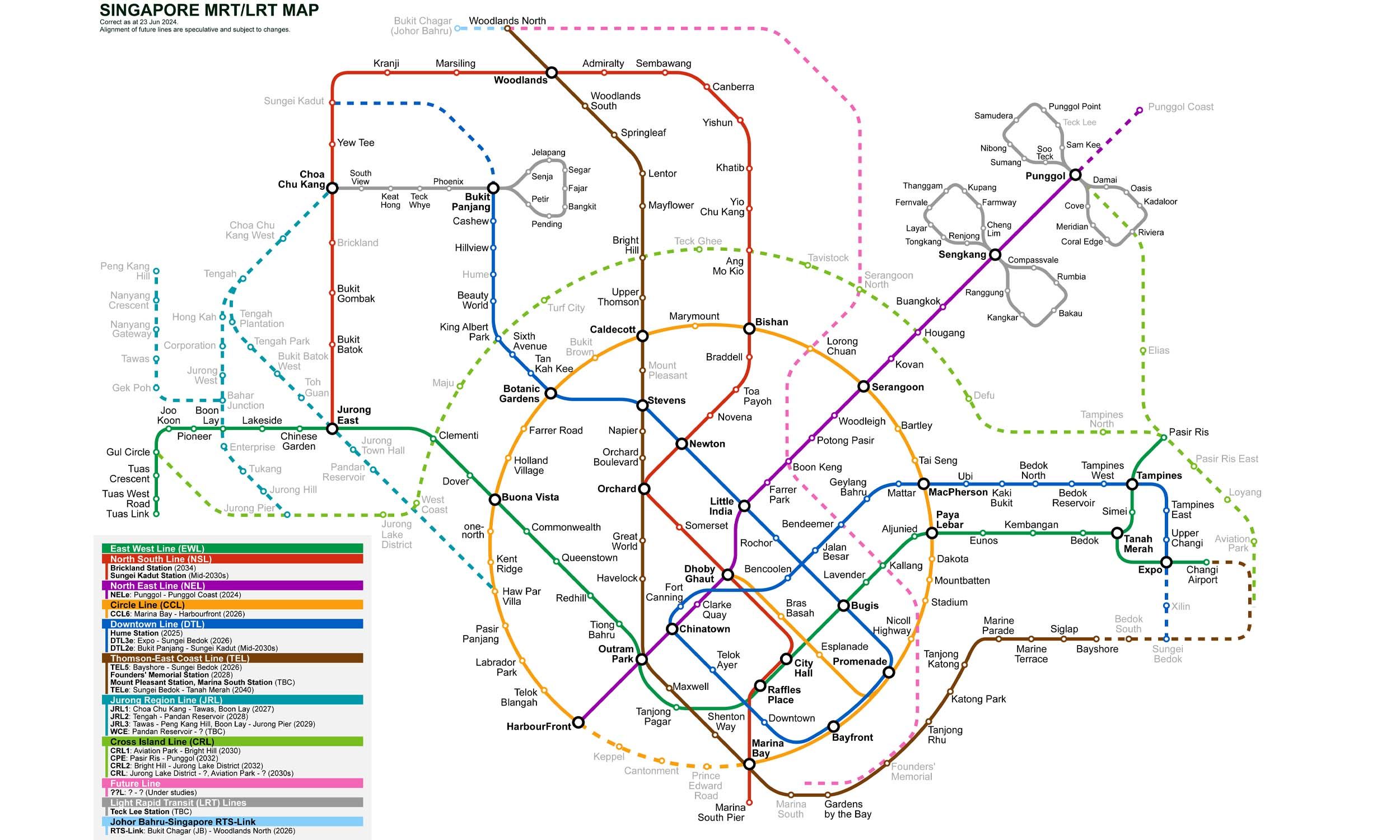
12 stations2 interchanges13 km~25 min
Board
North–South Line
towards Marina South Pier
Change to
North East Line
towards Punggol
Change to
Downtown Line
towards Expo
- 1
-
2
Board the North–South Line towards Marina South Pier
Ride 8 stops to Dhoby Ghaut.Change lines here -
3
Board the North East Line towards Punggol
Ride 2 stops to Chinatown.Change lines here -
4
Board the Downtown Line towards Expo
Ride 1 stop to Fort Canning.
Origin
Ang Mo Kio Singapore
Gates / Exits
Gate A
Deyi Secondary School / Teck Ghee
Gate B
Broadway Plaza / Jubilee Square
Gate C
AMK Hub / Bus Interchange
Gate D
Town Garden East / Cheng San CC
Destination
Fort Canning Singapore
Gates / Exits
Gate A
Fort Canning Park / River Valley Road
Gate B
Clarke Quay / River Valley
Gate C
Fort Canning Park / Stamford Road
More routes from Ang Mo Kio
Dhoby Ghaut
Chinatown
More routes from Fort Canning
Dhoby Ghaut