
Pandan Indah LRT Station(ڤندن اينده)
AG15
Metro Lines
Pandan Indah LRT Station Location on Map
Pandan Indah, 55100 Ampang Jaya, Selangor, Malaysia


Pandan Indah LRT Station Overview
Pandan Indah LRT Station is an surface station on the Rapid KL network, served by the Ampang Line and Sri Petaling Line. It is located in the Pandan Indah area of Kuala Lumpur. It is not an interchange station. It is located between the Pandan Jaya and Cempaka stations and serves the surrounding residential and commercial areas. It is the 15th station from Sentul Timur and the 4th station from Ampang on the Ampang Line.
Lines at Pandan Indah LRT Station
LRT Ampang Line
Kuala Lumpur Rapid Rail
Towards: Sentul Timur
Previous: Pandan Jaya
1.0 km
Platform No.: Side
First Train: 6:09 AM Last Train: 11:34 PM
Surface
Pandan Indah LRT Station Info
- Opened 1996
- Coordinates 3.1349, 101.74602
-
Lines
1
Kuala Lumpur Rapid Rail Map 2026 SVG
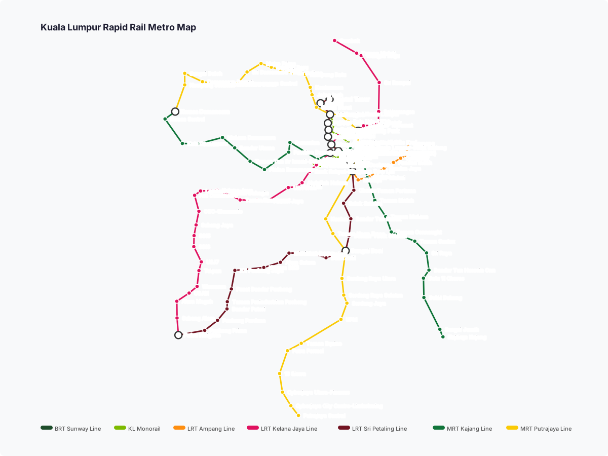
Click to expand
Gates (2)
-
Gate A Flats complex off Jalan Cempaka / Taman Cempaka / Kampung Pandan Dalam
-
Gate B Jalan Pandan Indah 22 / Pandan Indah / Taman Bakti
Other Stations in Kuala Lumpur Rapid Rail
83Frequently Asked Questions — Pandan Indah Station
Pandan Indah station is served by 1 line: LRT Ampang Line.
Pandan Indah station is part of the Kuala Lumpur Rapid Rail network in Kuala Lumpur.
Pandan Indah station has 2 gates.
Pandan Indah station opened in 1996.
Pandan Indah station is located at coordinates 3.1349, 101.74602 in Kuala Lumpur.
You can reach Pandan Indah station via the Kuala Lumpur Rapid Rail. Use the route finder on this page to plan your journey from any station.