Route Finder

Sri Raya to Bukit Nanas Route

16 stations3 interchanges17 km~34 min
Change to MRT Putrajaya Line Platform 3 towards Putrajaya Sentral
Change to LRT Ampang Line towards Ampang
Change to KL Monorail Platform 1 towards Titiwangsa
  1. 1
    Start at Sri Raya station.
  2. 2
    Board the MRT Kajang Line towards Kajang · from Platform 1
    Ride 8 stops to Tun Razak Exchange (TRX).
    Change lines here
  3. 3
    Board the MRT Putrajaya Line towards Putrajaya Sentral · from Platform 3
    Ride 1 stop to Chan Sow Lin.
    Change lines here
  4. 4
    Board the LRT Ampang Line towards Ampang
    Ride 2 stops to Hang Tuah.
    Change lines here
  5. 5
    Board the KL Monorail towards Titiwangsa · from Platform 1
    Ride 4 stops to Bukit Nanas.
  6. Arrive at Bukit Nanas station. You have reached your destination.
Origin

Sri Raya Kuala Lumpur

Gates / Exits

Gate A Feeder bus hub / Persiaran Sri Raya
Gate B Taxi & private vehicle lay-by / Persiaran Sri Raya / Jalan Hulu Langat
Gate C Taman Kota Cheras / Jalan Kota Cheras
Destination

Bukit Nanas Kuala Lumpur

Gates / Exits

Gate A Jalan Sultan Ismail / Jalan Ampang / Kuala Lumpur Tower / LRT Dang Wangi connection

Sri Raya to Bukit Nanas — Frequently Asked Questions

There are 16 stations on the route from Sri Raya to Bukit Nanas, including the origin and destination.

You need to make 3 interchanges to travel from Sri Raya to Bukit Nanas, using MRT Kajang Line and MRT Putrajaya Line and LRT Ampang Line and KL Monorail.

The distance from Sri Raya to Bukit Nanas is approximately 17 km by transit.

The estimated journey time from Sri Raya to Bukit Nanas is approximately 34 minutes.

You can travel from Sri Raya to Bukit Nanas via MRT Kajang Line and MRT Putrajaya Line and LRT Ampang Line and KL Monorail on the Kuala Lumpur Rapid Rail.

To travel in the reverse direction from Bukit Nanas to Sri Raya, follow the same route in the opposite direction. The journey takes approximately 34 minutes.

Kuala Lumpur Rapid Rail Map 2026 SVG
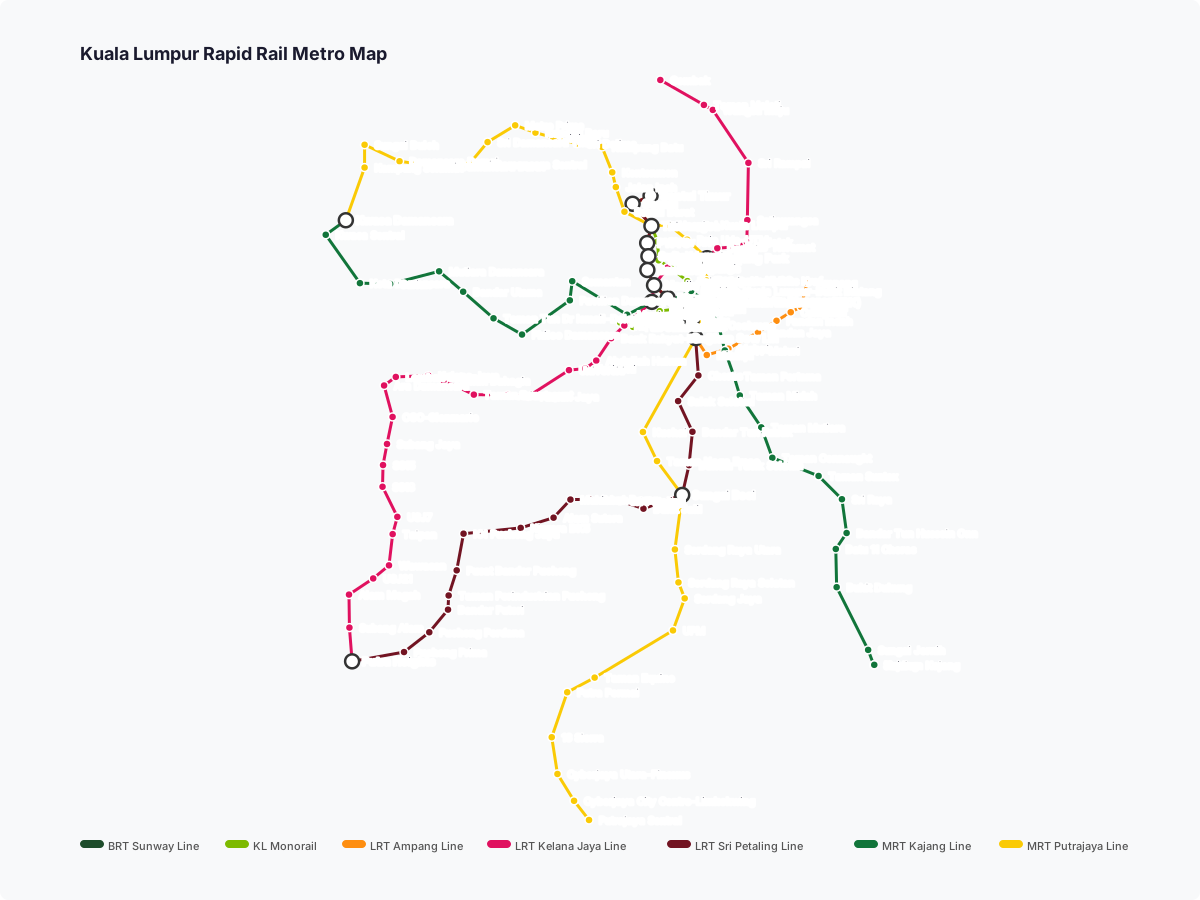
Kuala Lumpur Rapid Rail map
Click to expand