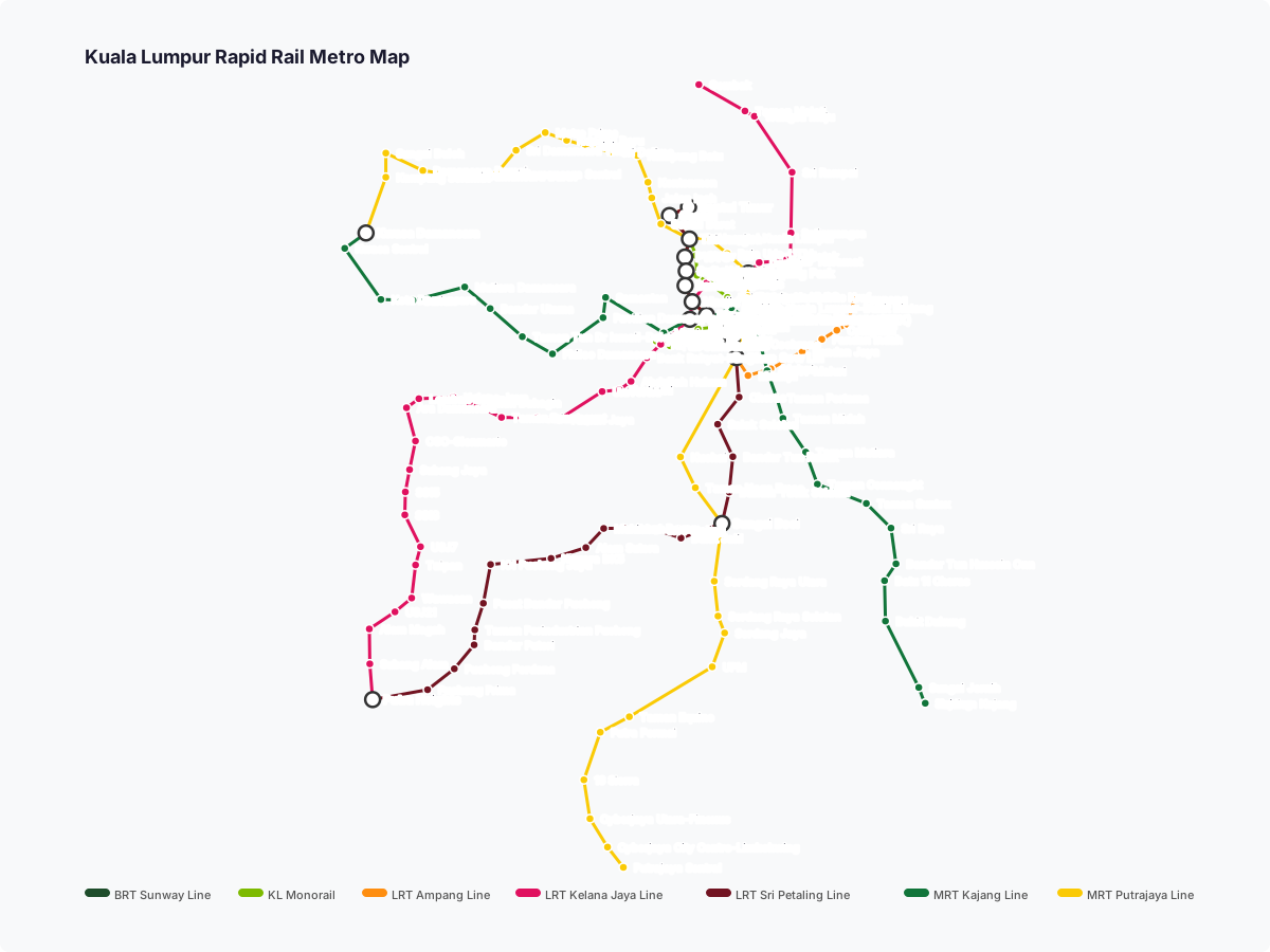
24 stations3 interchanges28 km~56 min
Board
LRT Kelana Jaya Line
Platform 1
towards Putra Heights
Change to
LRT Ampang Line
towards Ampang
Change to
LRT Sri Petaling Line
towards Putra Heights
Change to
MRT Putrajaya Line
towards Putrajaya Sentral
- 1
-
2
Board the LRT Kelana Jaya Line towards Putra Heights · from Platform 1
Ride 13 stops to Masjid Jamek.Change lines here -
3
Board the LRT Ampang Line towards Ampang
Ride 4 stops to Chan Sow Lin.Change lines here -
4
Board the LRT Sri Petaling Line towards Putra Heights
Ride 5 stops to Sungai Besi.Change lines here -
5
Board the MRT Putrajaya Line towards Putrajaya Sentral
Ride 1 stop to Serdang Raya Utara.
Origin
Ara Damansara Kuala Lumpur
Gates / Exits
Gate A
Taman Mayang Emas / Evolve Concept Mall / Japanese School of Kuala Lumpur
Gate B
Sultan Abdul Aziz Shah Airport Highway / Ara Damansara
Destination
Serdang Raya Utara Kuala Lumpur
Gates / Exits
Gate A
Serdang Raya / Jalan SR 8/5
Gate B
Jalan Serdang Raya / Taman Serdang Raya
More routes from Ara Damansara
Masjid Jamek
Chan Sow Lin